Imaging technique could help identify where landslides are likely
Each year, landslides kill thousands of people around the world and cause catastrophic property damage. But scientists are still trying to better understand the circumstances that cause them. Doing so would go a long way toward predicting where landslides could occur and how severe they might be.
A U.S. National Science Foundation-funded study led by Seulgi Moon, a UCLA geoscientist, could be a significant step toward that goal.
Moon and Gen Li of Caltech created a new method to understand how topographic stress -- which occurs when tectonic plates beneath the Earth's surface slide toward each other enough to change the landscape above -- influences landslide events. The research is published in Nature Geoscience.
The study is the first to show that the extent of deep open-fracture zones created by topographic stress governs the maximum size and depth of a bedrock landslide; previous research focused only on landslides caused by events like earthquakes and rain.
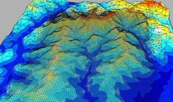
The scientists developed an adaptation of an existing technology called 3D topographic stress modeling to identify places deep below the Earth's surface where rocks are weathered -- weakened by natural geological processes -- or fractured. By identifying those spots, the model can determine which locations are most susceptible to landslides.
Moon and Li conducted the research on the Longmen Mountains on the Eastern Tibetan Plateau. Their approach uses high-resolution satellite images to detect the sizes and locations of landslides. The satellite images are compared to the fracturing and weathering of rocks in the same locations, which can be predicted from the topography of the Earth's surface.
Areas in which the underground bedrock is particularly weak or fractured may be vulnerable to large landslides. "Better predictive capability for when, where and how big landslides happen could be used to develop procedures that convey warnings and risk to the public, reducing loss of life and damage to infrastructure and ecosystems," says Justin Lawrence, a program director in NSF's Division of Earth Sciences.


