
Multimedia Gallery
March 21, 2012
Images credited to the National Science Foundation, a federal agency, are in the public domain. The images were created by employees of the United States Government as part of their official duties or prepared by contractors as "works for hire" for NSF. You may freely use NSF-credited images and, at your discretion, credit NSF with a "Courtesy: National Science Foundation" notation.
Additional information about general usage can be found in Conditions.

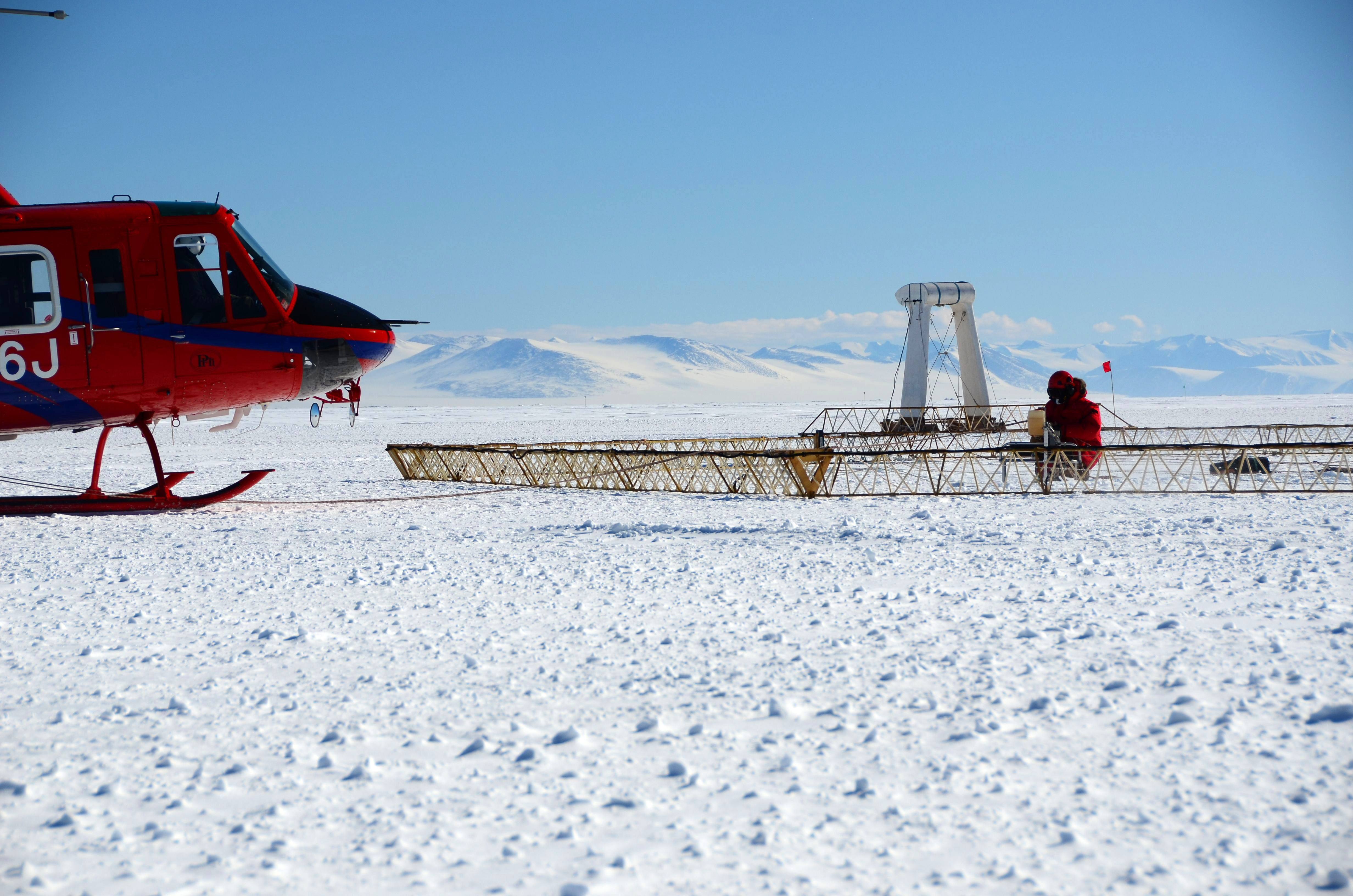
NSF funded mapping technology prepares for inaugural flight on the continent of Antarctica.
Helicopter preparing to launch NSF funded SkyTEM mapping technology on the sea ice in Antarctica.
Credit: Lars Jensen
See other images like this on your iPhone or iPad download NSF Science Zone on the Apple App Store.
Images credited to the National Science Foundation, a federal agency, are in the public domain. The images were created by employees of the United States Government as part of their official duties or prepared by contractors as "works for hire" for NSF. You may freely use NSF-credited images and, at your discretion, credit NSF with a "Courtesy: National Science Foundation" notation.
Additional information about general usage can be found in Conditions.
Also Available:
Download the high-resolution JPG version of the image. (5.6 MB)
Use your mouse to right-click (Mac users may need to Ctrl-click) the link above and choose the option that will save the file or target to your computer.
Related story: First-ever Use of Airborne Resistivity System in Antarctica Allows Researchers to Look Beneath Surface in Untapped Territories