For decades, the U.S. National Science Foundation has invested in fundamental research to understand and predict natural hazards and promote resilience.
Each year, extreme events — such as storms, wildfires, floods, heat waves, earthquakes and landslides — claim lives, devastate communities and strain social systems ranging from healthcare to food supplies.
While threats from natural disasters and other hazards cannot be eliminated, research can reduce vulnerabilities and increase community resilience.
 On this page
Brought to you by NSF
Weather forecasting
NSF–funded research has helped improve the capabilities of the national radar network, which produces weather forecasting and provides advanced warning of impending storms.
Earthquake monitoring
NSF is a part of the Global Seismographic Network, state-of-the-art sensors that extend across the globe and even to the oceans' depths — serving as an early-warning system for earthquakes and tsunamis.
Building standards for fires
Research funded by NSF and the National Institute of Standards and Technology led to the development of new drapery and construction standards that help save lives during fires.
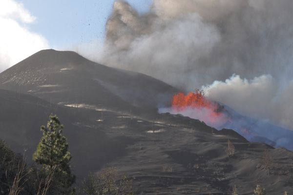
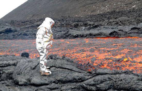
Forecasting volcanic eruptions
NSF funded the development of Earth- and space-based technologies that help forecast and detect volcanic eruptions.
What we support
Fundamental research
We support research that yields insights into natural hazards — such as hurricanes, floods, wildfires, earthquakes, coastal erosion, severe thunderstorms and tornadoes, volcanoes, emerging epidemics, and disruption of the power grid by space weather — and methods to reduce their harmful impacts.
Research infrastructure
We support the development of state-of-the-art facilities and testbeds across the U.S. to expand knowledge of natural hazards and test new technologies for resilience.
Education and workforce development
We support the creation of a diverse workforce ready to design, implement and manage innovative solutions to natural disasters, hazards and climate change.

Partnerships to accelerate progress
We partner with other federal agencies, industry and nonprofits to share data, tools, expertise and other resources; strengthen workforce development; and translate research into products and services that benefit society.
Featured funding
America's Seed Fund (SBIR/STTR)
Supports startups and small businesses to translate research into products and services — including environmental technologies — for the public good.
Combustion and Fire Systems
Supports research on combustion and fire prediction and mitigation. Priority areas include basic combustion science, combustion science related to clean energy, wildland fire prediction and prevention, and turbulence-chemistry interactions.
Engineering for Civil Infrastructure
Supports fundamental research in infrastructure materials and architectural, geotechnical and structural engineering. Focus areas include geomaterials and geostructures, structural materials, structural and non-structural systems, and building envelopes.
Fire Science Innovations through Research and Education
Supports convergent research, education and networking activities to improve understanding, prediction and resilience to wildland fire and its interactions with communities, infrastructure and the natural environment.
Infrastructure Systems and People
Supports fundamental research on the design, optimization, sustainability and resilience of infrastructure systems during normal operation and extreme events, such as natural hazards, to serve community needs.